Kartan
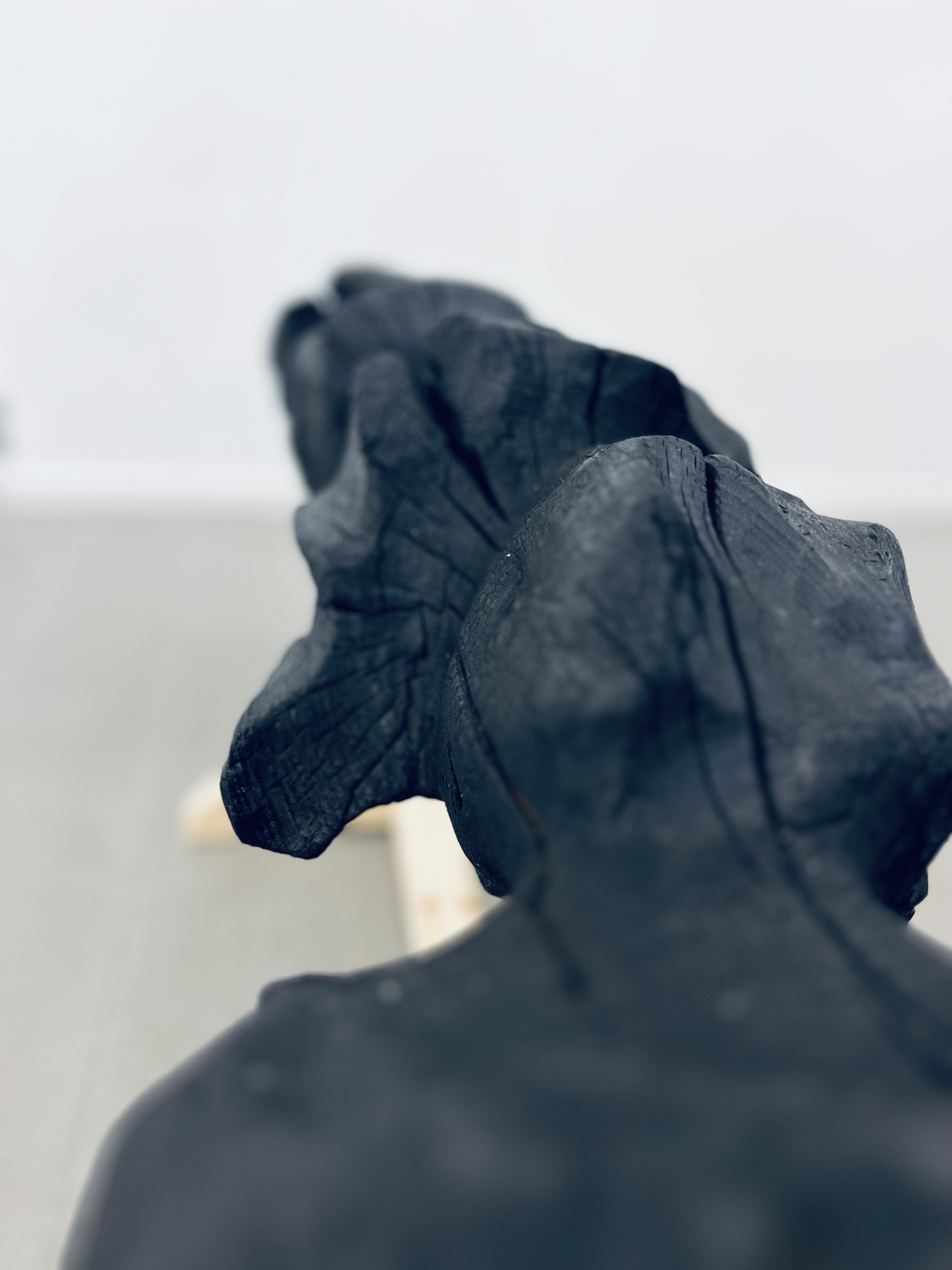
En karta huggen ur en trädstam. Inspirerad av inuiterna på Grönland, där de förr snidade kartor ur flytved som hjälp att navigera efter kustlinjen, kartan gjordes aldrig större än att de skulle rymmas i en vante för att lätt kunna få fram kartan ute till havs.
Den här kartan är överdimensionerad till storleken för att passa ett utställningsrum.
I kartan finns inskriptioner om hur du kan tyda tecken för att förutspå vädret. Tekniker som används i många generationer innan oss. Kunskap som allt färre besitter. Här får vi följa älven, med strömmen genom åtta årstider.
För ett otränat öga är kartan mer lik en kaffepinne eller en träskulptur. Den kartografi vi har i dag är tvådimensionell med linjer och/eller färgkoder för att kunna läsa av den. Kartorna vi ser idag är också en produkt av kolonialism. Dels hur de är uppritade, vad som är centrerat, att det finns upp och ner samt fel proportioner.
The map
A map carved out of a tree trunk. Inspired by the Inuit in Greenland, where they used to carve maps out of driftwood to help navigate along the coastline, the map was never made larger than they would fit in a glove to easily retrieve the map out at sea.
This map is oversized to fit a showroom.
In the map there are inscriptions on how to interpret signs to predict the weather. Techniques used for many generations before us. Knowledge that fewer and fewer possess. Here we get to follow the river, with the current through eight seasons.
To the untrained eye, the map looks more like a coffee stick or a wooden sculpture. The cartography we have today is two-dimensional with lines and/or color codes to be able to read it. The maps we see today are also a product of colonialism. Partly how they are drawn, what is centered, that there is up and down and wrong proportions.


